ADASR - Ancient Desert Agriculture Systems Revived - click for slide show ADASR - Ancient Desert Agriculture Systems Revived - click for slide show

Jessie Pincus

Dr. Jessie A. Pincus, Geoarchaeologist
Bar Ilan Ph.D., Texas A&M Post-Doctoral Research Associate

GPR Survey Reports, Papers, Depth Slice Animations

Dr. Jessie Pincus concentrated her studies from 2003-2009 on geoarchaeological data acquisition and modeling using Ground Penetrating Radar (GPR) for strategic planning and decision support. She worked at several sites in the Southern Levant, with an emphasis on rough terrain GPR with archaeological support application, as well as interfacing of results in a GIS database model. Her dissertation is entitled "Geoarchaeological Data Acquisition and Modeling with Ground Penetrating Radar (GPR) of Ancient Agricultural Terraced Fields in the Negev and Tell es-Safi/Gath". She is a State of Israel licensed archaeologist. She taught the course in Soils for Construction and Foundations at Texas A&M, where she worked as a postdoctoral researcher. Currently she is a Research Associate at the Tell es-Safi/Gath Archaeological Project Lab at Bar Ilan University.

Jessie Pincus leads the Mnemotrix Geoarchaeological Support Team for CRASL, the Center for Research & Archaeology of the Southern Levant. She also provides geoarchaeological support to the IAA, the Israel Antiquities Authority. Jessie has also lent her expertise to the Mount Zion Expedition as the team's Geoarchaeologist and Scientific Coordinator. She continues her work in 2014 with the many projects supported by CRASL. See here for more details on the CRASL projects.

Jessie executing a rough terrain GPR survey at Avdat ancient archaeological terraces - click for GPR Field Study Slide Show Jessie executing a rough terrain GPR survey at Avdat ancient archaeological terraces - click for GPR Field Study Slide Show
Jessie executes a rough terrain GPR (Ground Penetrating Radar) Survey at Avdat Spring 2005
Click for GPR Field Study Slide Show

Her undergraduate work was done at Case Western Reserve University in Ohio and University of Miami in Florida. Her doctoral work concentrated on geoarchaeological data acquisition and modeling using Ground Penetrating Radar (GPR) for strategic planning and decision support. She has been working since 2005 at several sites in the Southern Levant, with an emphasis on rough terrain GPR with archaeological support application, as well as interfacing of results in a GIS database model. Her work was under the supervision of Professor Aren Maeir and Dr. Moti Haiman of The Martin (Szusz) Department of Land of Israel Studies and Archaeology, Bar-Ilan University, Professor Hanoch Lavee (formerly) of the Department of Geography, Bar-Ilan University, and Professor Ben K. Sternberg, Ph.D., Director of the Laboratory for Advanced Subsurface Imaging, University of Arizona. In 2009-2010 she was at Texas A&M as a Post-Doctoral Research Associate.

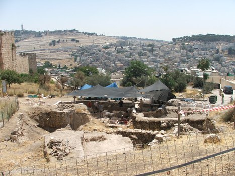
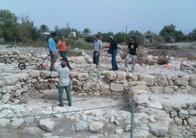
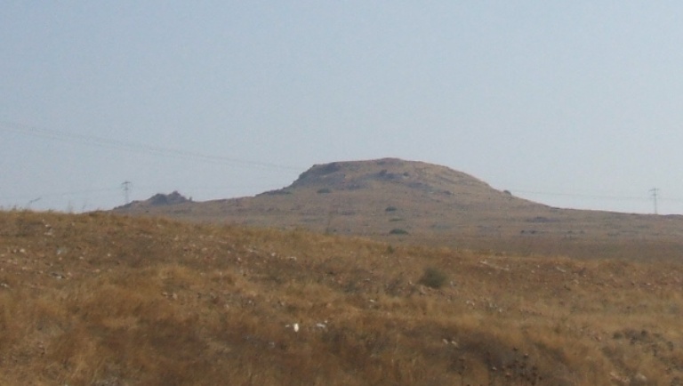
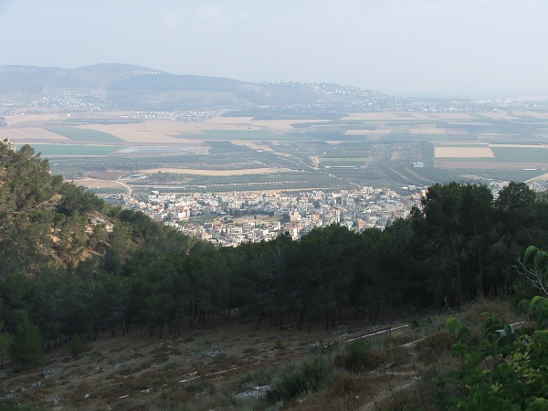
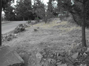
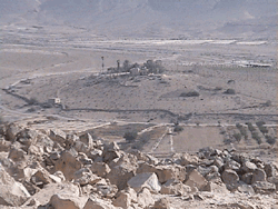
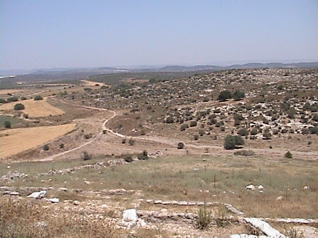
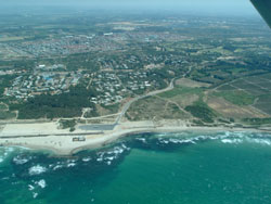
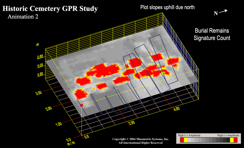
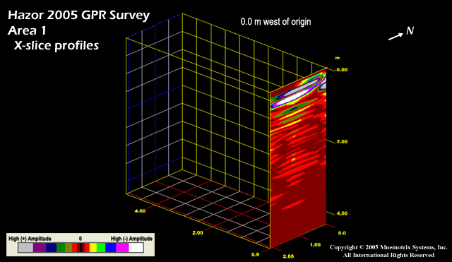
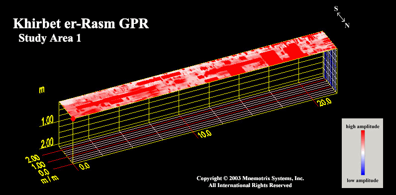
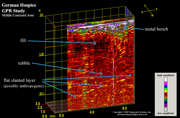
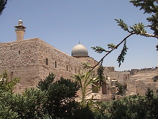
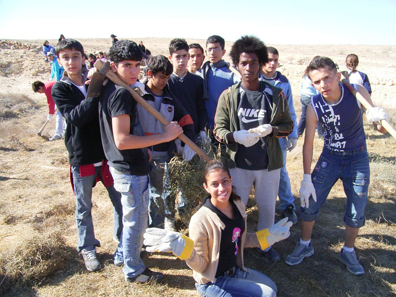
In addition to her doctoral work, Jessie has completed numerous projects and archaeogeophysical surveys throughout Israel. These sites include Kiryat Anavim Cemetery and Tel Mond Cemetery, forensics projects in support of the Israel Defense Forces' MIA department; and Hazor Archaeological Project, Tell es-Safi/Philistine Gath, City of David Excavations, Neolithic Sha'ar HaGolan Archaeological Project, and Givat Sher archaeological projects to name a few. Past projects have included the Mount Zion Excavations, the Horns of Hittin, the ancient city of Bethsaida, and select sites in Jerusalem and the biblical city of Nazareth. She has published portions of her work in several journals and research editions. Her doctoral work has focused on advanced data modeling of numerous archaeological, geological, geophysical, hydrological and climatic datasets, including data acquisition in the Negev desert at her 5 research sites of Avdat, Nizzana, Shivta, the Yatir Forest, and Tell es-Safi. She brings specialized experience in rough-terrain situations where on-site innovation allows her to produce useful reports for both the researchers and professionals in the field. She has also worked at several sites in the USA, including the Miami Circle in Florida, one of the few Prehistoric architectural structure remains in the country, the ancient Ortona canals in Central Florida, and Little Salt Springs on the west coast of Florida. See here for GPR field reports including 3D modeling and animations.

In addition to contributing GPR Studies and GPS Surveys to the ADASR Project, she has also provided ADASR its website design and support, and inter-disciplinary collaboration for GIS interface of ADASR data.

Many of her reports, including animated depth slices of GPR Studies, can be seen below:

Click here for 2008 Field Study at Bethsaida near Galilee in Israel Bethsaida near Sea of Galilee, Northern Israel
click here for 2008 Field Study
the Elusive Strata 6, the city below the Iron Age city
Mount Zion Archaeological Project
Jerusalem, Israel

click here for 2008 report
Decoding Multi-Layered Habitation Levels
Click here for 2008 report ot Mount Zion Archaeological Project, Jerusalem, Israel
En Fashkha, near Dead Sea, Israel
click here for 2008 report
En Fashkha near Dead Sea, Israel
Click here for 2008 report of Fashkha near Dead Sea, Israel
Click here for 2008 Field Study at Southern Horn - search for the lost cistern Horns of Hittin, Northern Israel
click here for 2008 Field Study
Search for the Lost Cistern
Nazareth Vicinity, Israel
click here for 2008 report
Search for 1st Century Burial Tombs
in Nazareth Vicinity Israel
Click here for 2008 report of Search for 1st Century Burial Tombs in Nazareth Vicinity Israel
Click here for 2008 Full Report on 1st Century Burial Tombs Jerusalem, Israel
click here for 2008 Full Report
on 1st Century Burial Tombs
Avdat, Israel
click here for 2007 report
of ongoing Archaeogeophysical Hydrological Study
of Ancient Desert Terraces
Click here for 2007 report of ongoing Archaeogeophysical Hydrological Study of Ancient Desert Terraces
click for GPR DEPTH SLICE ANIMATION
Click here for GPR Depth Slice Animation
Tell es-Safi, Israel
click here for Trench Study summary + figures

2005 Env Conf paper in English or in Hebrew
2005 Ground Truth Study report
2006 GPR Field Study
Sha'ar HaGolan, Israel
click here for 2005 report
on neolithic structural remains
click for GPR DEPTH SLICE ANIMATION
Click here for GPR Depth Slice Animation of neolithic structural remains
Click here for 2005 Full Report Caesaria, Israel
click here for 2005 Full Report
Historic Cemetery Study, Israel
click here for summary + figures

click here for 2005 Supplement
click for GPR DEPTH SLICE ANIMATION
Click here for GPR Depth Slice Animation
click for GPR DEPTH SLICE ANIMATION
Click here for GPR Depth Slice Animation
Tel Hazor, Israel
click here to read 2003 report

2005 follow-up study about to be ground truthed in 2006
Khirbet er-Rasm,
Judean Shephelah, Israel

Click here to read 2003 report
Click here for 2005 Ground Truth Study just released!
click for GPR DEPTH SLICE ANIMATION wall search
Click here for GPR Depth Slice Animation
click for GPR DEPTH SLICE ANIMATION
Click here for GPR Depth Slice Animation
Teutonic Church & German Hospice
Jerusalem, Israel
click here to read report
City of David,
Jerusalem, Israel
click here for December 2007 follow-up!

click here for June 2003 report
Click here for Dec 2003 follow-up report
Click here for 2005 First Look report Givat Sher, Modiin, Israel
click here for 2005 First Look report

Archaeological Salvage Study
Jerusalem, Israel

Click here for 2005 short report
Click here to read 2005 short report

Geophysical Support Services, Smart GIS Technology, and website design,
hosting, and maintenance are provided by Mnemotrix Systems, Inc.
Mnemotrix Systems, Inc.