Home  |
About Us  |
| Projects |
Preservation  |
Newsletter  |
Membership  |
| Contact Us |
Links  |
| AHC IN THE NEWS |
Okeechobee Battlefield
|
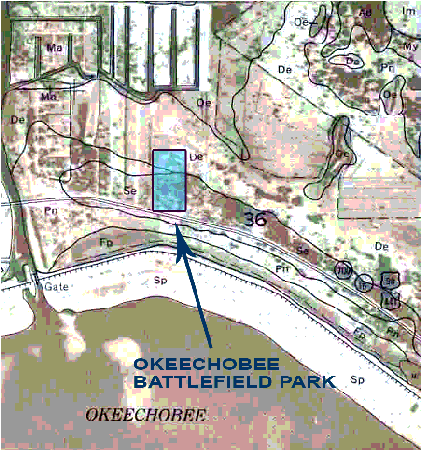
The Okeechobee Battlefield was voted one of America's most endangered National Landmarks. Located near the outskirts of the city of Okeechobee, the site has been rapidly overtaken by development. The Archaeological and Historical Conservancy led the effort to preserve the battlefield as part of America's cultural heritage. | |
Directions: Take US 441 south through the town of Okeechobee, and then east along the lake past the Taylor Creek Bridge. There will be signs and the entrance is on the north side of the road. |
|
Ortona Canal
In 1839 surveyors recorded a group of unusual earthworks near the Caloosahatchee River. They believed that these were fortifications built by Europeans. But in fact, they had discovered one of the largest groups of mounds and the longest system of transportation canals created by Native Americans in North America. AHC has recently radio-carbon dated the canal system to about A.D. 300, the same age as the Miami Circle. The significance of the Ortona Earthworks is that it demonstrates that the South Florida Indians were culturally more advanced at an earlier date than many scholars had suspected, and were capable of large engineering projects which require organization and a stratified society. An analysis of the artifacts recovered from the site indicates that the Ortona Indians may have been related to the Calusa.
Map of Two Ancient Ortona Canals
on Caloosahatchee River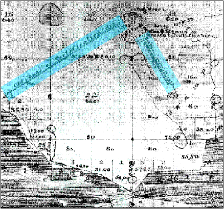
This illustration is the 1871 Tannerhill map showing the two Ortona canals running southwest to northeast. Ortona Mound Park is located nearby, with its entrance near State Road 78. The park is open for picnicking from sunrise to sunset, with a barbeque pit and several pavilions. An exhibit and trail interpret the site.
In April, 2004 the staff of Mnemotrix (http://www.mnemotrix.com) conducted a ground penetrating radar (GPR) survey to establish a GPR signature of this ancient canal.
 Click here for figures from GPR study.
The Miami Circle was discovered in September of 1998 during routine archaeological monitoring on a proposed condominium site at the mouth of the Miami River.
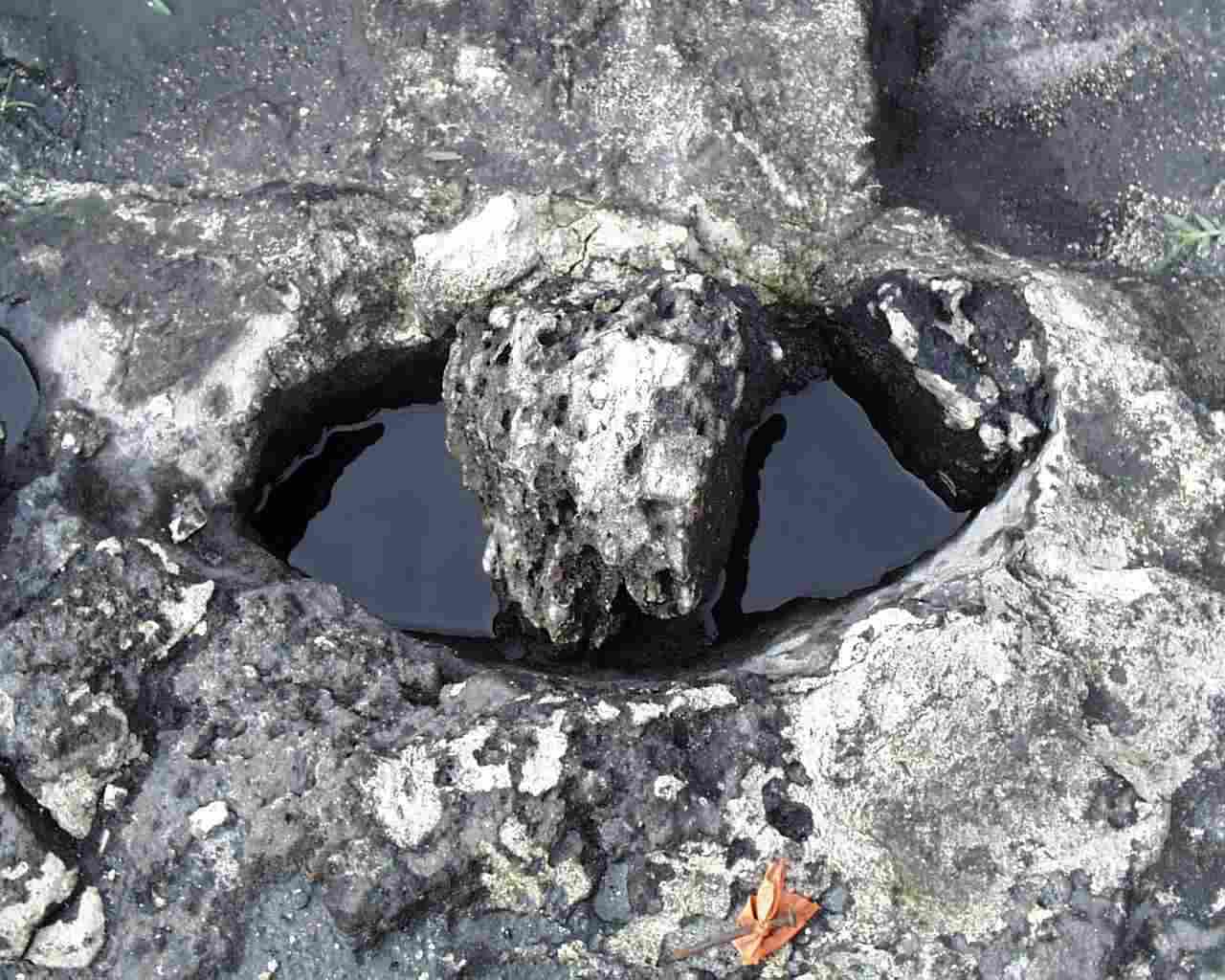
Then Miami-Dade County Historic Preservation Director Robert Carr supervised the excavation of several test units which revealed basins cut in the bedrock, each filled with black dirt midden. Surveyor Ted Riggs recognized that the basins formed an arc, and hypothesized that it might be part of a circle. In September 1998, a 40 foot diameter area was excavated, revealing that the basins formed a circle.
As the importance and antiquity of the site was being revealed, public attention heightened. A campaign began to save the circle from development. Native Americans visited the site, school children signed petitions, and international media gave it coverage. The campaign culminated with an eminent domain law suit filed by Miami-Dade County. This meant that the government valued the land as a cultural heritage site too much to allow it to be destroyed. The lawsuit was settled and the circle was acquired jointly by Miami-Dade County and the State of Florida. The park is now managed by the Historical Museum of Southern Florida.
Miami Circle
The Archaeological and Historical Conservancy played a major role in the discovery and preservation of the Miami Circle, providing an opportunity for archaeologists and archaeological technicians to uncover the Circle, and donating over $40,000 to the project cost. We also directed the analysis of over 143,000 objects that were recovered from the Circle, many now featured at an exhibition at the Historical Museum of Southern Florida in Miami.
click for closeup 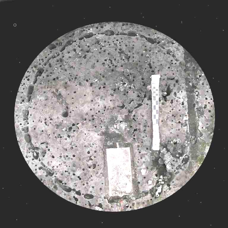
The area within and around the circle was excavated, with the field work being directed by County Archaeologist John Ricisak.
While the developer was having permit delays, archaeologists from the Archaeological and Historical Conservancy and dedicated volunteers continued to excavate the site and make important discoveries. Rare stone celts were found as well as animal burials: a sea turtle shell, a dolphin skull, and an articulated shark skeleton, that appear to be offerings. Radiocarbon dates suggest the shark dated to around 1600 A.D. while charcoal found directly on top of the bedrock and in the basins dated to ca. 200 - 300 A.D.
Forming the Miami Circle 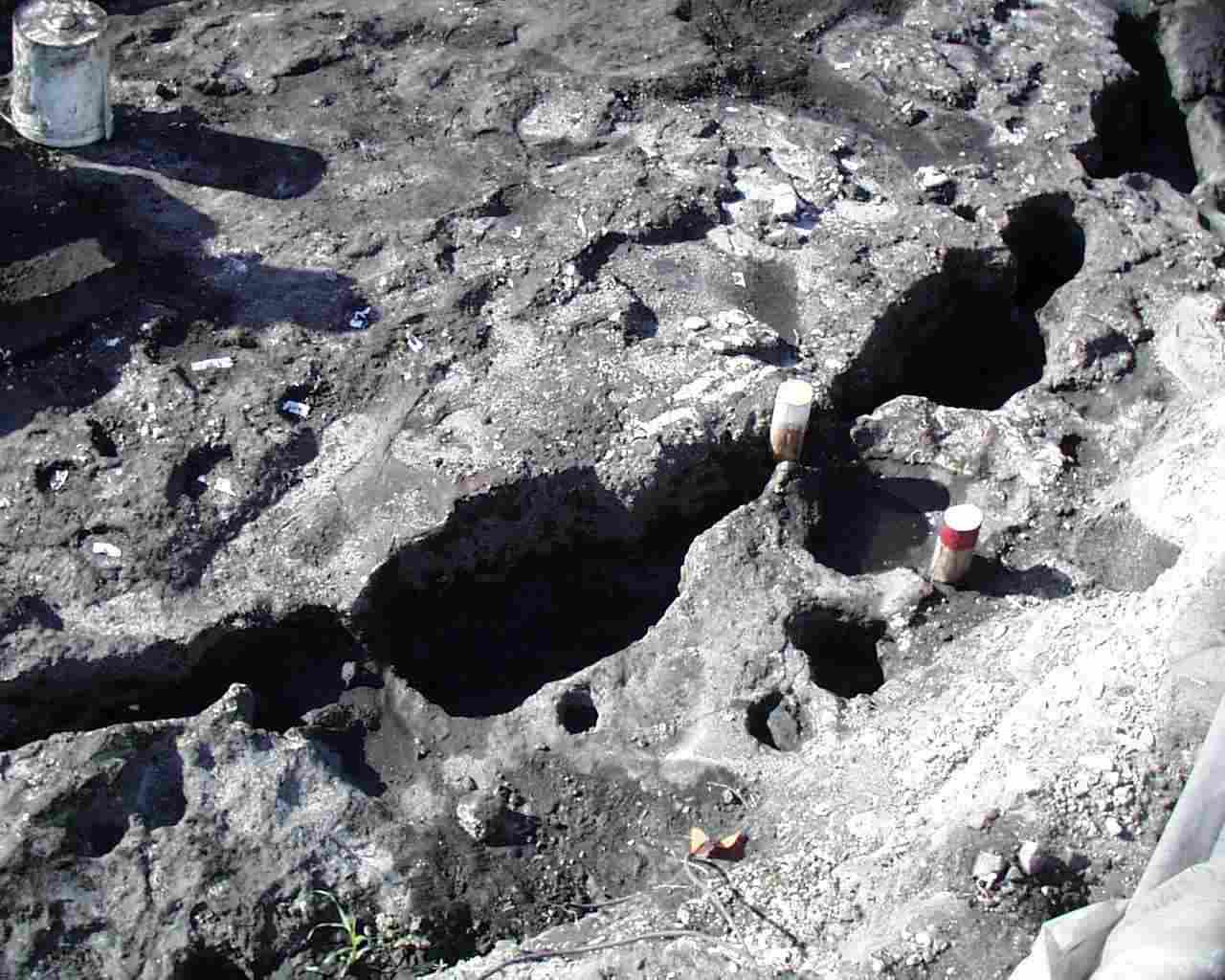
Summary of Field Work done at the Miami Circle
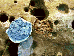
Interpretation
The current interpretation of the circle by most Florida archaeologists is that it represents the footprint of a structure. Due to its careful construction and size (38 feet in diameter), it probably had a sacred and/or public function. The remains of sacrificed animals suggest ritual ceremonialism at the site. A more detailed discussion of the site can be found in the 2000, 2004, and 2006 issues of The Florida Anthropologist (Volume 53 No. 4, Volume 57 No. 1-2, and Volume 59 No. 3-4). Click here for figures from GPR study.
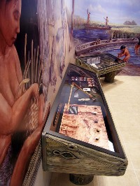
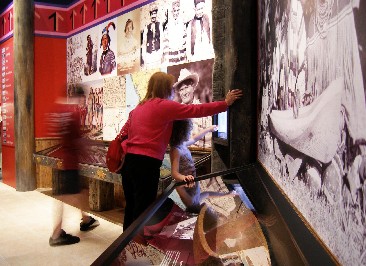
Long Key Exhibits
Master Plan for Long Key Natural Area 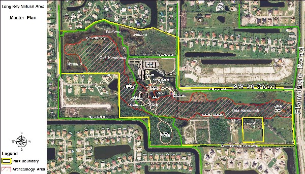
After the Archaeological and Historical Conservancy documented the significant sites in and around "Sam Jones" (Aripeka) Seven Islands ─ now Pine Island and Long Key ─ we were instrumental in preventing their destruction and in preserving Long Key as a Broward County Park. Beginning in 2005, AHC consulted on the archaeological management plan for the park and monitored wetland mitigation and construction of trails and buildings. AHC played an integral part in the design of the museum wing for newly constructed Long Key Nature Center, which opened in 2008.
Photographing "Sam Jones" Island 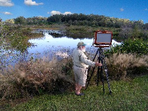
Installation of Clyde Butcher's Long Key Photomural 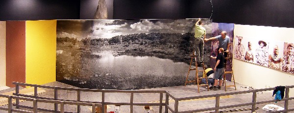
Tequesta Exhibits
European Contact Exhibits
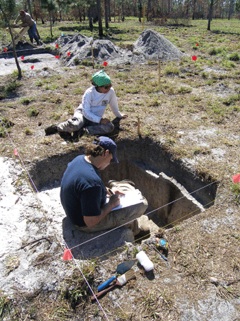 Since 1985, AHC has investigated, documented, and assessed
over 1000 sites throughout Florida. In so doing we have gotten to know
Florida and its history intimately, and we have developed expertise from
the Paleo period of prehistoric Florida to Seminole War sites of the
19th century.